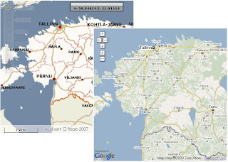
For LBS demos we often need clobal content, more and more often "for tomorrow" and sometimes for very exotic and unexpected regions. It's not possible to integrate Navteq, Leaddog or TeleAtlas data into our GIS Engine with such short notice thus we created Google Maps support into MapCat.
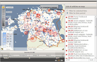
Google Bridge covers basic GIS functionalities (navigation, search, routing) and enables to use MapCat search, routing and light digitizing components in combination with GM (show adresses, POI's, routing results, geofences on top of the maps etc).
See also:
-
Routing demo-
WMS demo-
GC Admin demoGoogle Bridge is also useful for our webmap customers in Baltics who're willingly ready to pay for internetmap applications but not monthly fees for the maps (and for whom maps quality is not critical issue :-)